
Fort Steele topographic map
Interactive map
Click on the map to display elevation.
About this map
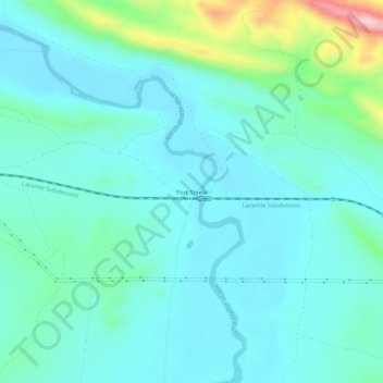
Name: Fort Steele topographic map, elevation, terrain.
Location: Fort Steele, Carbon County, Wyoming, États-Unis d'Amérique (41.75802 -106.96643 41.79802 -106.92643)
Average elevation: 6,604 ft
Minimum elevation: 6,453 ft
Maximum elevation: 7,287 ft