
La Ville des Glaciers topographic map
Interactive map
Click on the map to display elevation.
About this map
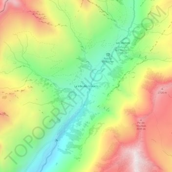
Name: La Ville des Glaciers topographic map, elevation, terrain.
Average elevation: 7,152 ft
Minimum elevation: 5,384 ft
Maximum elevation: 9,308 ft