
Chulucanas topographic map
Interactive map
Click on the map to display elevation.
About this map
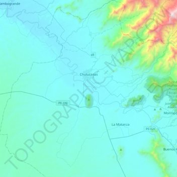
Name: Chulucanas topographic map, elevation, terrain.
Location: Chulucanas, Morropón, Departamento de Piura, Peru (-5.33035 -80.36502 -4.92783 -79.97798)
Average elevation: 827 ft
Minimum elevation: 187 ft
Maximum elevation: 7,106 ft