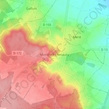
Montfort-l'Amaury topographic map
Interactive map
Click on the map to display elevation.
About this map
Name: Montfort-l'Amaury topographic map, elevation, terrain.
Average elevation: 456 ft
Minimum elevation: 276 ft
Maximum elevation: 620 ft

Click on the map to display elevation.
Name: Montfort-l'Amaury topographic map, elevation, terrain.
Average elevation: 456 ft
Minimum elevation: 276 ft
Maximum elevation: 620 ft