
Whitemark topographic map
Interactive map
Click on the map to display elevation.
About this map
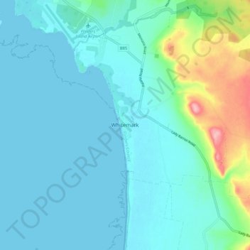
Name: Whitemark topographic map, elevation, terrain.
Location: Whitemark, Tasmania, Australia (-40.16150 147.97602 -40.08150 148.05602)
Average elevation: 75 ft
Minimum elevation: 0 ft
Maximum elevation: 466 ft
Other topographic maps
Click on a map to view its topography, its elevation and its terrain.