
La Ramada topographic map
Interactive map
Click on the map to display elevation.
About this map
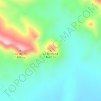
Name: La Ramada topographic map, elevation, terrain.
Location: La Ramada, Valle de Zaragoza, Chihuahua, México (27.62210 -105.72995 27.62220 -105.72985)
Average elevation: 4,833 ft
Minimum elevation: 4,531 ft
Maximum elevation: 5,610 ft