
La Salle topographic map
Interactive map
Click on the map to display elevation.
About this map
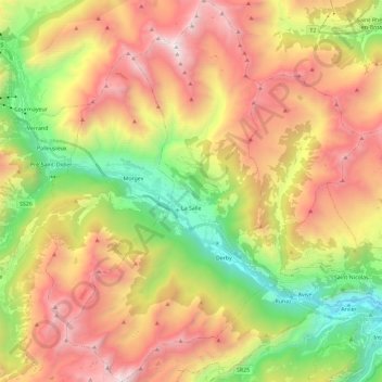
Name: La Salle topographic map, elevation, terrain.
Location: La Salle, Aostatal, 11015, Italien (45.67147 6.99473 45.83354 7.12274)
Average elevation: 6,322 ft
Minimum elevation: 2,234 ft
Maximum elevation: 10,840 ft