
Ronague topographic map
Interactive map
Click on the map to display elevation.
About this map
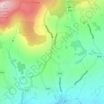
Name: Ronague topographic map, elevation, terrain.
Location: Ronague, Arbory, Rushen, IM9 4HQ, Isle of Man (54.09897 -4.70717 54.13897 -4.66717)
Average elevation: 492 ft
Minimum elevation: 82 ft
Maximum elevation: 1,424 ft