
Rosendahl topographic map
Interactive map
Click on the map to display elevation.
About this map
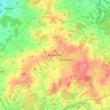
Name: Rosendahl topographic map, elevation, terrain.
Location: Rosendahl, Kreis Coesfeld, Noordrijn-Westfalen, 48720, Duitsland (51.98024 7.15697 52.06024 7.23697)
Average elevation: 325 ft
Minimum elevation: 217 ft
Maximum elevation: 427 ft