
Yatağan topographic map
Interactive map
Click on the map to display elevation.
About this map
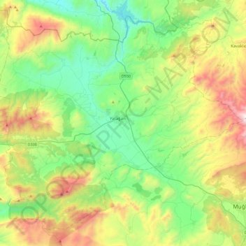
Name: Yatağan topographic map, elevation, terrain.
Location: Yatağan, Muğla, Aegean Region, Turkey (37.18077 27.92158 37.48788 28.36684)
Average elevation: 2,310 ft
Minimum elevation: 538 ft
Maximum elevation: 6,093 ft
Other topographic maps
Click on a map to view its topography, its elevation and its terrain.