
Ruiseñores topographic map
Interactive map
Click on the map to display elevation.
About this map
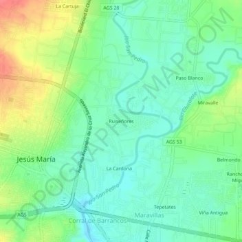
Name: Ruiseñores topographic map, elevation, terrain.
Location: Ruiseñores, Jesús María, Aguascalientes, 20904, México (21.94766 -102.34932 21.98766 -102.30932)
Average elevation: 6,135 ft
Minimum elevation: 6,066 ft
Maximum elevation: 6,266 ft