Geolocate

Bijabo topographic map

Click on the map to display elevation.

About this map

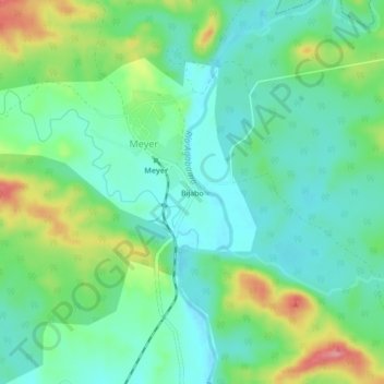
Name: Bijabo topographic map, elevation, terrain.

Location: Bijabo, Meyer, Trinidad, Sancti Spiritus, Cuba (21.89863 -79.82384 21.93863 -79.78384)

Average elevation: 138 ft

Minimum elevation: 39 ft

Maximum elevation: 364 ft

Gear up for your next adventure:

🦶Carbon Trekking Poles - Reduce knee impact on steep descents with ultra-light poles
🛰️Handheld GPS Units - Professional satellite navigators for precise backcountry mapping
📌Outdoor GPS Map App - Apps and devices for digital topographic navigation
🌎3D Topographic Globes - Raised relief globes for a tactile understanding of geography
🪶Camp Gear Gift Set - Perfect gift bundle for outdoor fans

As an Amazon Associate, this site earns from qualifying purchases at no extra cost to you.