
Ağlasun topographic map
Interactive map
Click on the map to display elevation.
About this map
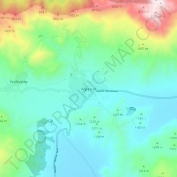
Name: Ağlasun topographic map, elevation, terrain.
Location: Ağlasun, Burdur, Mediterranean Region, Turkey (37.60966 30.49319 37.68966 30.57319)
Average elevation: 4,370 ft
Minimum elevation: 3,363 ft
Maximum elevation: 7,441 ft