
Saldias topographic map
Interactive map
Click on the map to display elevation.
About this map
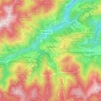
Name: Saldias topographic map, elevation, terrain.
Location: Saldias, Navarre, Espagne (43.05985 -1.79483 43.11380 -1.75450)
Average elevation: 2,133 ft
Minimum elevation: 932 ft
Maximum elevation: 3,412 ft