
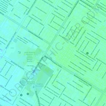
Plazuela 27 de Septiembre topographic map
Interactive map
Click on the map to display elevation.
About this map
Name: Plazuela 27 de Septiembre topographic map, elevation, terrain.
Average elevation: 49 ft
Minimum elevation: 36 ft
Maximum elevation: 59 ft
Other topographic maps
Click on a map to view its topography, its elevation and its terrain.
Benito Juarez
México > Sinaloa > Ahome > Los Mochis
Benito Juarez, Los Mochis, Ahome, Sinaloa, 81270, México
Average elevation: 36 ft