
Am Mühlenberg topographic map
Interactive map
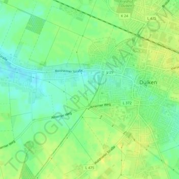
Click on the map to display elevation.
About this map
Name: Am Mühlenberg topographic map, elevation, terrain.
Average elevation: 203 ft
Minimum elevation: 167 ft
Maximum elevation: 230 ft
Other topographic maps
Click on a map to view its topography, its elevation and its terrain.
Klinkhammer
Deutschland > Nordrhein-Westfalen > Viersen > Boisheim > Pütterhöfe
Klinkhammer, Pütterhöfe, Boisheim, Viersen, Kreis Viersen, Nordrhein-Westfalen, 41751, Deutschland
Average elevation: 174 ft