Kao River topographic map
Interactive map
Click on the map to display elevation.
About this map
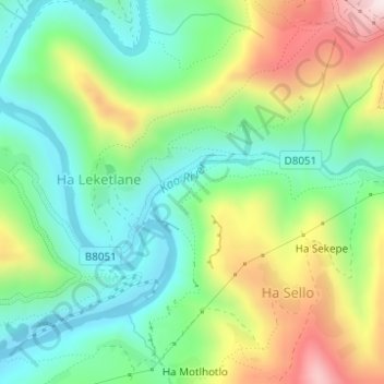
Name: Kao River topographic map, elevation, terrain.
Average elevation: 7,408 ft
Minimum elevation: 6,844 ft
Maximum elevation: 8,415 ft

Click on the map to display elevation.
Name: Kao River topographic map, elevation, terrain.
Average elevation: 7,408 ft
Minimum elevation: 6,844 ft
Maximum elevation: 8,415 ft