
江庄 topographic map
Interactive map
Click on the map to display elevation.
About this map
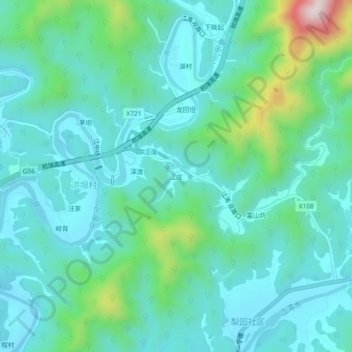
Name: 江庄 topographic map, elevation, terrain.
Location: 江庄, 洪坦村, 江湾镇, 婺源县, 上饶市, 江西省, 中国 (29.35784 118.00034 29.39784 118.04034)
Average elevation: 640 ft
Minimum elevation: 318 ft
Maximum elevation: 1,965 ft