
Williams topographic map
Interactive map
Click on the map to display elevation.
About this map
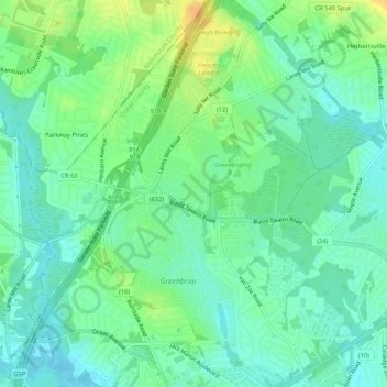
Name: Williams topographic map, elevation, terrain.
Location: Williams, Ocean County, New Jersey, 08724, USA (40.07678 -74.15236 40.11678 -74.11236)
Average elevation: 39 ft
Minimum elevation: 3 ft
Maximum elevation: 98 ft