
石镜乡 topographic map
Interactive map
Click on the map to display elevation.
About this map
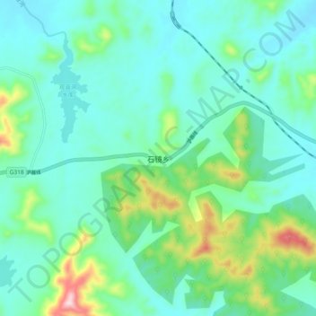
Name: 石镜乡 topographic map, elevation, terrain.
Location: 石镜乡, 怀宁县, 安庆市, 安徽省, 中国 (30.57270 116.79900 30.65270 116.87900)
Average elevation: 351 ft
Minimum elevation: 82 ft
Maximum elevation: 1,352 ft
Other topographic maps
Click on a map to view its topography, its elevation and its terrain.