
Anagalapura topographic map
Interactive map
Click on the map to display elevation.
About this map
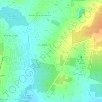
Name: Anagalapura topographic map, elevation, terrain.
Location: Anagalapura, Bangalore East, Bengaluru Urban, Karnataka, India (13.06165 77.67713 13.07256 77.69006)
Average elevation: 2,917 ft
Minimum elevation: 2,867 ft
Maximum elevation: 2,992 ft