
高铁新区 topographic map
Interactive map
Click on the map to display elevation.
About this map
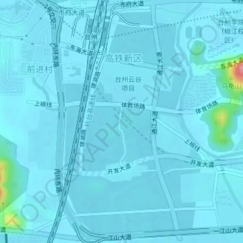
Name: 高铁新区 topographic map, elevation, terrain.
Location: 高铁新区, 椒江区, 台州市, 浙江省, 中国 (28.63198 121.36275 28.65918 121.39126)
Average elevation: 26 ft
Minimum elevation: 7 ft
Maximum elevation: 384 ft
Other topographic maps
Click on a map to view its topography, its elevation and its terrain.