
Willie topographic map
Interactive map
Click on the map to display elevation.
About this map
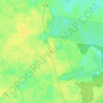
Name: Willie topographic map, elevation, terrain.
Location: Willie, Liberty County, Georgia, USA (31.99424 -81.68738 32.03424 -81.64738)
Average elevation: 92 ft
Minimum elevation: 49 ft
Maximum elevation: 115 ft