
Beveren topographic map
Interactive map
Click on the map to display elevation.
About this map
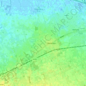
Name: Beveren topographic map, elevation, terrain.
Location: Beveren, Sint-Niklaas, East Flanders, Flanders, 9120, Belgium (51.18831 4.19803 51.23732 4.28442)
Average elevation: 26 ft
Minimum elevation: -10 ft
Maximum elevation: 62 ft