
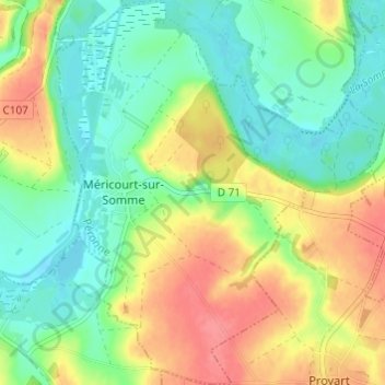
Méricourt-sur-Somme topographic map
Interactive map
Click on the map to display elevation.
About this map
Name: Méricourt-sur-Somme topographic map, elevation, terrain.
Average elevation: 180 ft
Minimum elevation: 95 ft
Maximum elevation: 302 ft
Other topographic maps
Click on a map to view its topography, its elevation and its terrain.
Étinehem
France > Hauts-de-France > Somme > Étinehem-Méricourt
Étinehem, Étinehem-Méricourt, Péronne, Somme, Hauts-de-France, France métropolitaine, 80340, France
Average elevation: 233 ft