
Fischereihafen (Stadtteil) topographic map
Interactive map
Click on the map to display elevation.
About this map
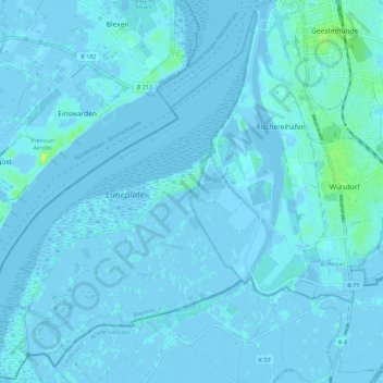
Name: Fischereihafen (Stadtteil) topographic map, elevation, terrain.
Average elevation: 3 ft
Minimum elevation: -26 ft
Maximum elevation: 39 ft
Other topographic maps
Click on a map to view its topography, its elevation and its terrain.
Bremerhaven
Allemagne > Brême > Bremerhaven
Bremerhaven, Brême, 27570, Allemagne
Average elevation: 7 ft