
West Fork topographic map
Interactive map
Click on the map to display elevation.
About this map
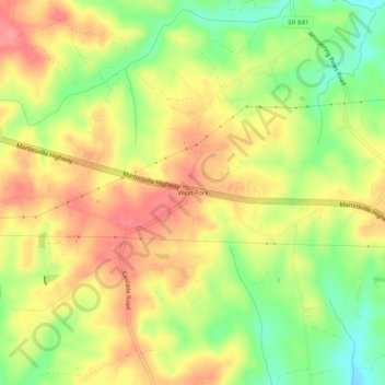
Name: West Fork topographic map, elevation, terrain.
Location: West Fork, Pittsylvania County, Virginia, 24069, USA (36.60458 -79.65086 36.64458 -79.61086)
Average elevation: 827 ft
Minimum elevation: 663 ft
Maximum elevation: 961 ft