
Purtis Creek State Park topographic map
Interactive map
Click on the map to display elevation.
About this map
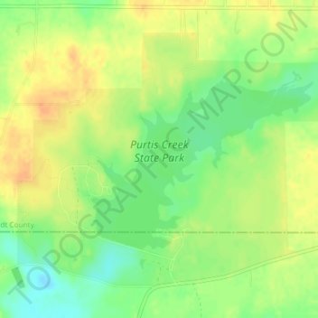
Name: Purtis Creek State Park topographic map, elevation, terrain.
Location: Purtis Creek State Park, Odom, Van Zandt County, Texas, USA (32.35190 -96.01149 32.37682 -95.97453)
Average elevation: 423 ft
Minimum elevation: 358 ft
Maximum elevation: 472 ft