
Ledegem topographic map
Interactive map
Click on the map to display elevation.
About this map
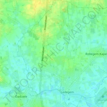
Name: Ledegem topographic map, elevation, terrain.
Location: Ledegem, Roeselare, West Flanders, Flanders, Belgium (50.84764 3.09452 50.89034 3.14926)
Average elevation: 75 ft
Minimum elevation: 52 ft
Maximum elevation: 118 ft