
Helena-West Helena topographic map
Interactive map
Click on the map to display elevation.
About this map
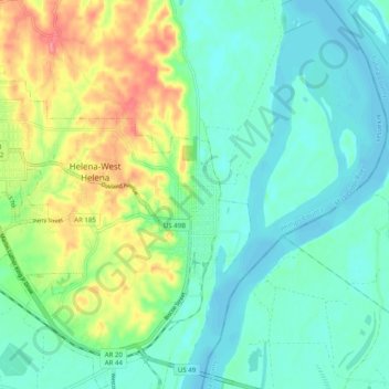
Name: Helena-West Helena topographic map, elevation, terrain.
Location: Helena-West Helena, Phillips County, Arkansas, VS (34.49363 -90.67508 34.57565 -90.57566)
Average elevation: 220 ft
Minimum elevation: 141 ft
Maximum elevation: 407 ft