
Chagua topographic map
Interactive map
Click on the map to display elevation.
About this map
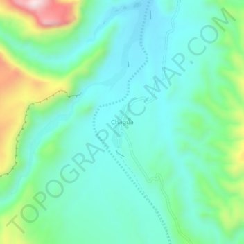
Name: Chagua topographic map, elevation, terrain.
Location: Chagua, Provincia Modesto Omiste, PSI, Bolivia (-21.90206 -65.82777 -21.86206 -65.78777)
Average elevation: 11,086 ft
Minimum elevation: 10,673 ft
Maximum elevation: 12,372 ft