
Knapsack Park topographic map
Interactive map
Click on the map to display elevation.
About this map
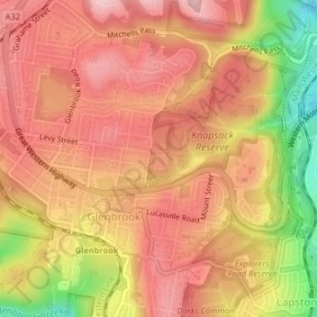
Name: Knapsack Park topographic map, elevation, terrain.
Average elevation: 591 ft
Minimum elevation: 171 ft
Maximum elevation: 804 ft
Other topographic maps
Click on a map to view its topography, its elevation and its terrain.
Ross Lookout
Australia > New South Wales > Sydney > Glenbrook
Ross Lookout, Emu Road, Glenbrook, Sydney, Blue Mountains City Council, New South Wales, 2773, Australia
Average elevation: 482 ft