
Akçakent topographic map
Interactive map
Click on the map to display elevation.
About this map
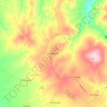
Name: Akçakent topographic map, elevation, terrain.
Location: Akçakent, Kırşehir, İç Anadolu Bölgesi, Turquie (39.58491 34.05813 39.66491 34.13813)
Average elevation: 4,334 ft
Minimum elevation: 3,376 ft
Maximum elevation: 5,210 ft