
Ahuatitla topographic map
Interactive map
Click on the map to display elevation.
About this map
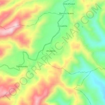
Name: Ahuatitla topographic map, elevation, terrain.
Location: Ahuatitla, Benito Juárez, Veracruz, Mexico (20.72639 -98.22028 20.76639 -98.18028)
Average elevation: 1,414 ft
Minimum elevation: 791 ft
Maximum elevation: 2,169 ft