
Río Jejuí topographic map
Interactive map
Click on the map to display elevation.
About this map
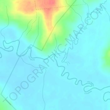
Name: Río Jejuí topographic map, elevation, terrain.
Location: Río Jejuí, Curuguaty, Canindeyú, Región Oriental, Paraguay (-24.06678 -55.84405 -24.06667 -55.84403)
Average elevation: 423 ft
Minimum elevation: 381 ft
Maximum elevation: 591 ft
Other topographic maps
Click on a map to view its topography, its elevation and its terrain.