
长校镇 topographic map
Interactive map
Click on the map to display elevation.
About this map
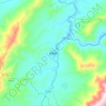
Name: 长校镇 topographic map, elevation, terrain.
Location: 长校镇, 清流县, 三明市, 福建省, 366205, 中国 (25.91061 116.67285 25.99061 116.75285)
Average elevation: 1,952 ft
Minimum elevation: 1,270 ft
Maximum elevation: 4,127 ft
Other topographic maps
Click on a map to view its topography, its elevation and its terrain.