
西永街道 topographic map
Interactive map
Click on the map to display elevation.
About this map
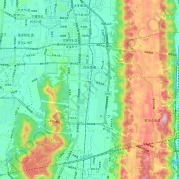
Name: 西永街道 topographic map, elevation, terrain.
Location: 西永街道, 重庆高新区, 永祥社区, 沙坪坝区, 重庆市, 中国 (29.53776 106.34981 29.63663 106.40100)
Average elevation: 1,214 ft
Minimum elevation: 774 ft
Maximum elevation: 2,096 ft