
Gürsu topographic map
Interactive map
Click on the map to display elevation.
About this map
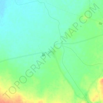
Name: Gürsu topographic map, elevation, terrain.
Location: Gürsu, Sandıklı, Afyonkarahisar, Aegean Region, Turkey (38.43263 30.14535 38.47263 30.18535)
Average elevation: 3,281 ft
Minimum elevation: 3,228 ft
Maximum elevation: 3,376 ft
Other topographic maps
Click on a map to view its topography, its elevation and its terrain.
Hisar Kalesi
Hisar Kalesi, Sandıklı, Afyonkarahisar, Aegean Region, Turkey
Average elevation: 3,652 ft