
Stampfe topographic map
Interactive map
Click on the map to display elevation.
About this map
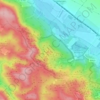
Name: Stampfe topographic map, elevation, terrain.
Average elevation: 1,076 ft
Minimum elevation: 817 ft
Maximum elevation: 1,371 ft
Other topographic maps
Click on a map to view its topography, its elevation and its terrain.
Manon
Tschechien > Nordosten > Reichenberger Region > Karlowitz
Manon, Karlowitz, Bezirk Semil, Reichenberger Region, Nordosten, 511 01, Tschechien
Average elevation: 1,093 ft