
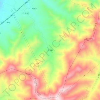
后交村 topographic map
Interactive map
Click on the map to display elevation.
About this map
Name: 后交村 topographic map, elevation, terrain.
Location: 后交村, 成家川街道, 潞城区, 长治市, 山西省, 中国 (36.23622 113.33766 36.27622 113.37766)
Average elevation: 3,586 ft
Minimum elevation: 2,710 ft
Maximum elevation: 4,482 ft