
Çamlı topographic map
Interactive map
Click on the map to display elevation.
About this map
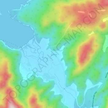
Name: Çamlı topographic map, elevation, terrain.
Location: Çamlı, Marmaris, Muğla, Aegean Region, Turkey (36.96708 28.24656 37.00708 28.28656)
Average elevation: 381 ft
Minimum elevation: -3 ft
Maximum elevation: 1,322 ft
Other topographic maps
Click on a map to view its topography, its elevation and its terrain.