
Étang de Lachaussée topographic map
Interactive map
Click on the map to display elevation.
About this map
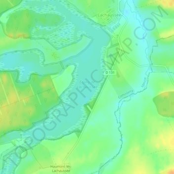
Name: Étang de Lachaussée topographic map, elevation, terrain.
Average elevation: 712 ft
Minimum elevation: 673 ft
Maximum elevation: 774 ft
Other topographic maps
Click on a map to view its topography, its elevation and its terrain.
Haumont-lès-Lachaussée
France > Grand Est > Meuse > Lachaussée > Haumont-lès-Lachaussée
Haumont-lès-Lachaussée, Lachaussée, Commercy, Meuse, Grand Est, France métropolitaine, 55210, France
Average elevation: 728 ft