
Klutlan Glacier topographic map
Interactive map
Click on the map to display elevation.
About this map
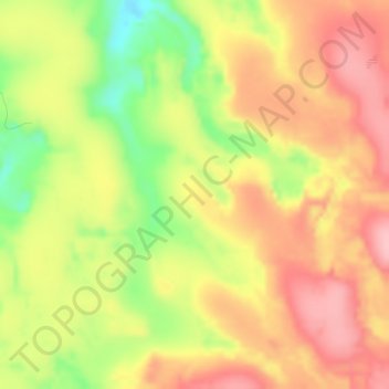
Name: Klutlan Glacier topographic map, elevation, terrain.
Location: Klutlan Glacier, Yukon, Kanada (61.55362 -140.60352 61.55372 -140.60342)
Average elevation: 3,717 ft
Minimum elevation: 3,435 ft
Maximum elevation: 3,921 ft
Other topographic maps
Click on a map to view its topography, its elevation and its terrain.