
Rajgir topographic map
Interactive map
Click on the map to display elevation.
About this map
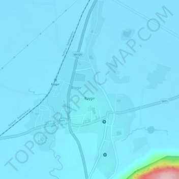
Name: Rajgir topographic map, elevation, terrain.
Location: Rajgir, Nālanda, Nalanda, Bihar, 803116, India (25.01777 85.40977 25.04467 85.42847)
Average elevation: 240 ft
Minimum elevation: 203 ft
Maximum elevation: 1,040 ft