
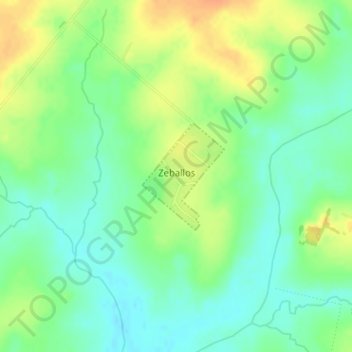
Zeballos topographic map
Interactive map
Click on the map to display elevation.
About this map
Name: Zeballos topographic map, elevation, terrain.
Location: Zeballos, Paysandú, 60000, Uruguay (-32.05322 -57.42347 -32.04507 -57.41605)
Average elevation: 174 ft
Minimum elevation: 121 ft
Maximum elevation: 240 ft