
Riverview Park topographic map
Interactive map
Click on the map to display elevation.
About this map
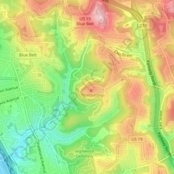
Name: Riverview Park topographic map, elevation, terrain.
Average elevation: 1,043 ft
Minimum elevation: 728 ft
Maximum elevation: 1,355 ft
Other topographic maps
Click on a map to view its topography, its elevation and its terrain.
North Shore
USA > Pennsylvania > Pittsburgh
North Shore, Pittsburgh, Allegheny County, Pennsylvania, USA
Average elevation: 804 ft