
Oum Soumaa topographic map
Interactive map
Click on the map to display elevation.
About this map
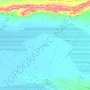
Name: Oum Soumaa topographic map, elevation, terrain.
Average elevation: 256 ft
Minimum elevation: 49 ft
Maximum elevation: 2,024 ft
Other topographic maps
Click on a map to view its topography, its elevation and its terrain.
Telmine
Tunisie > Gouvernorat Kébili > Telmine
Telmine, Délégation Kébili Nord, Gouvernorat Kébili, Tunisie
Average elevation: 85 ft