
Pointe Ouest de Jasse Bralard topographic map
Interactive map
Click on the map to display elevation.
About this map
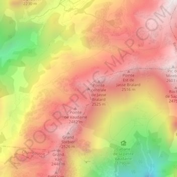
Name: Pointe Ouest de Jasse Bralard topographic map, elevation, terrain.
Average elevation: 6,880 ft
Minimum elevation: 4,304 ft
Maximum elevation: 8,540 ft