
Puu topographic map
Interactive map
Click on the map to display elevation.
About this map
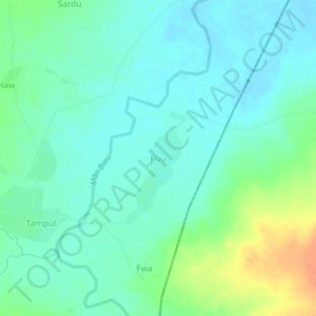
Name: Puu topographic map, elevation, terrain.
Location: Puu, Askira-Uba, Borno, Nigeria (10.56587 13.21833 10.60587 13.25833)
Average elevation: 1,509 ft
Minimum elevation: 1,473 ft
Maximum elevation: 1,601 ft