
Atta topographic map
Interactive map
Click on the map to display elevation.
About this map
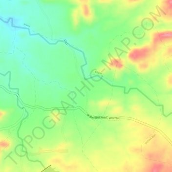
Name: Atta topographic map, elevation, terrain.
Location: Atta, Sondwa Tehsil, Alirajpur District, Madhya Pradesh, India (22.06248 74.23154 22.08134 74.24844)
Average elevation: 1,227 ft
Minimum elevation: 1,073 ft
Maximum elevation: 1,398 ft